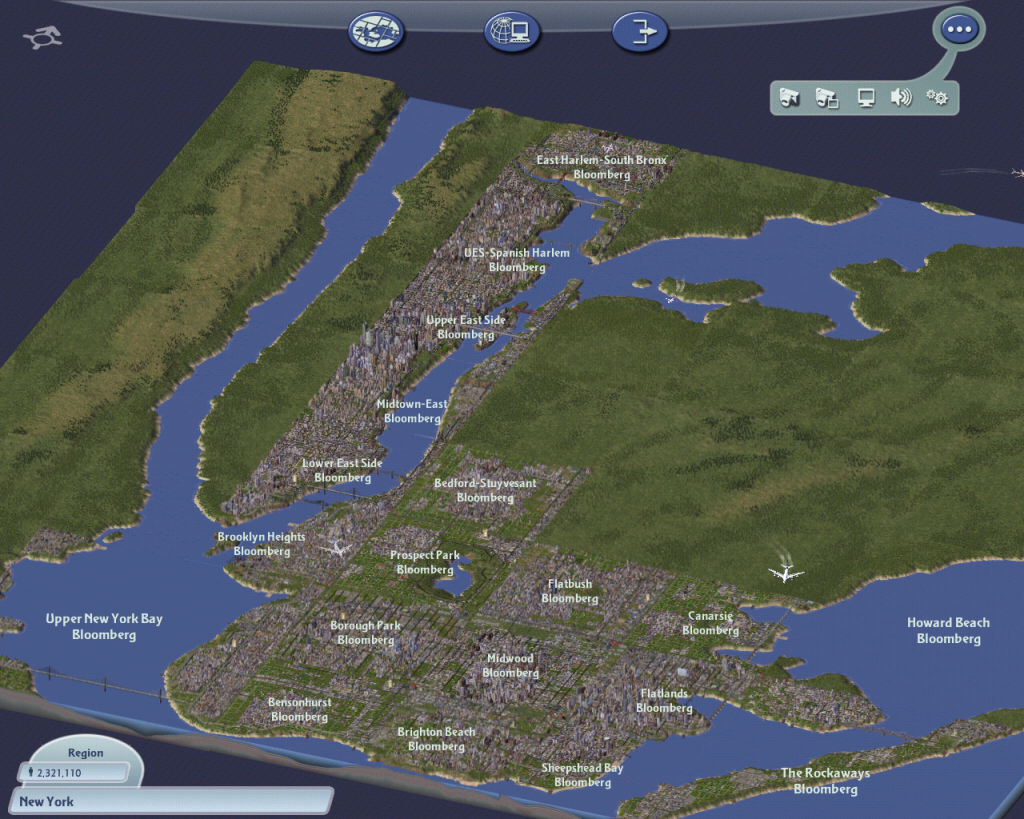
I have been working on my SimCity 4 version of New York City for over two years (since January 2007) and have gotten my way through Southern Brooklyn, Staten Island, and a region bordering the East River. My road network is pretty accurate (with the exception of S. Brooklyn - I'm planning on redoing that later on) and major landmarks and public spaces are included, all with the help of Google Maps. However, after seeing what lucky7 has done with his "The Different Looks of NYC" City Journal at the highly-popular SimCity 4 forum/exchange site Simtropolis has made me consider giving up on my city. His road and transportation network is so intricate and exact it looks as if it were a satellite photo. My opinion is that he can make it that accurate due to a custom-made, larger map size. Although he has yet to fully populate his city, it is fantastic and deserves his award. I myself do not have a City Journal, but will hopefully have something that is comparable!
Of course, Monte Cristo's Cities XL is coming out later this year, and so far it looks far superior to SC4, partly due to plenty of user feedback about the shortfalls of SC4. It looks and has a much more realistic gameplay, as evident from Simtropolis' Webmaster's review of an invitation-only review.

Published Post Number:121/127
Feel free to comment below!